Nicole Ford-Burley condensed the history of Lebanon into 20 minutes by focusing on the development of the City of Lebanon around the roads that brought people to Lebanon.
My notes are augmented with quotes from the history Nicole Ford-Burley has posted on the City of Lebanon webpage. Click here to see the info quoted below.
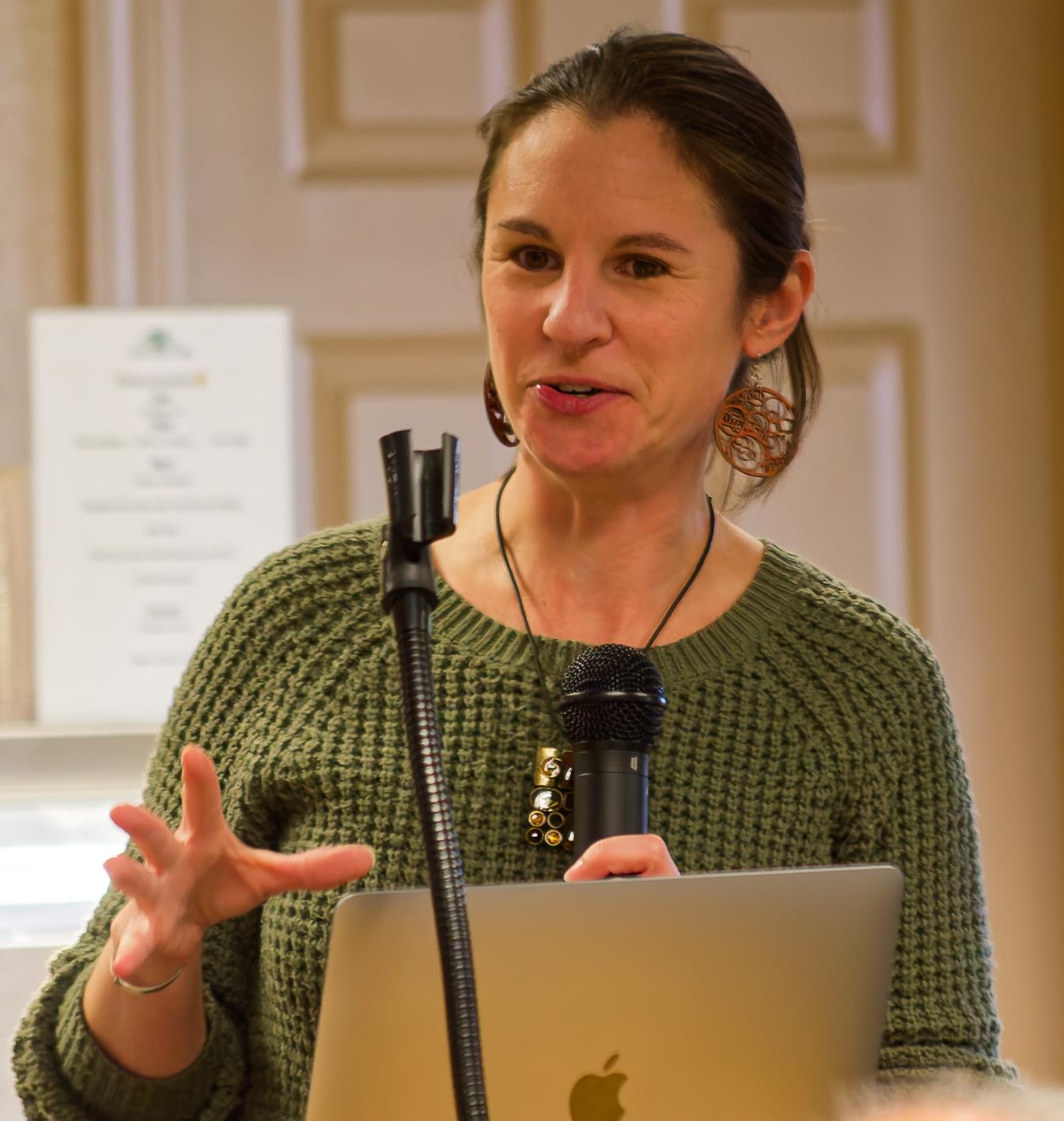
Nicole Burley-Ford
Horse Road
She began her talk by describing Horse Road. Horse Road was most like constructed by indigenous people estimated to have been established in the 1100s BC. Indigenous people history From the City’s website:
Lebanon has had many beginnings, most of them lost to history. One of its first was around 11,000 BCE, when the Laurentide Ice Sheet, which covered millions of square miles across North America under a mile of ice, retreated north to once again expose Lebanon’s soil to the air. Another beginning was when, around the same time, the first humans settled in what would later become New Hampshire. Paleoindians took advantage of the newly accessible land and the influx of wildlife into the area and would call the region home for millennia.
Another beginning was when glacial Lake Hitchcock, which covered much of West Lebanon, drained around 10,000 BCE. As told by the Abenaki, Ktsi Amiskw, the Great Beaver, built a dam to block the Connecticut River. He hoarded the waters for himself and flooded the upper river valley, causing drought throughout the lower valley. The warrior Gluskabe fought and defeated Ktsi Amiskw, releasing the river to nurture life downstream and uncovering rich farmland upstream.
Untold other beginnings followed as the descendants of New Hampshire’s original inhabitants grew and thrived. Western Abenaki inhabited Vermont and New Hampshire during the Woodland period, which lasted from around 800 BCE until the arrival of the European colonists around 1600 CE. The confluence of the Mascoma and Connecticut Rivers made Lebanon valuable territory for the Abenaki: easily accessible by water, with rich soil, a relatively long growing season, and abundant wildlife for hunting. The Abenaki—including the Sokoki, whose territory was centered around Northfield, Massachusetts, and the Koasek, who were centered in Newbury, Vermont—lived seasonally in Lebanon, returning to their winter villages for the long harsh season.
One of the Abenaki’s last beginnings was first contact with the Europeans, who arrived initially as traders and explorers, and later as invaders and colonizers. North America’s indigenous people suffered massive population loss in the 17th and 18th centuries as European colonists introduced catastrophic illnesses to New England. Warfare further reduced the diminished population, and by the time of Lebanon’s charter in 1761, most of the region’s Abenaki residents had either retreated north to one of the few surviving communities or assimilated into colonial society.
Moving forward in time, Horse Road brought settlers from Connecticut to our region. Lebanon was one of 16 towns on the Connecticut River to receive a charter from Benning Wentworth, the Governor of New Hampshire, in 1761. The first family arrived in the area the following year. They traveled the Horse Road to reach Lebanon. The two remaining homes from the 1760s are the Downer-True Farm home (1763) and Dana House (1765) From the City’s website:
The beginning about which we know the most is when European colonists began moving to Lebanon in 1761. The first of these settlers were already familiar with the area, having passed through Lebanon via the Connecticut River during the French and Indian War. The colonists petitioned Governor Benning Wentworth for a charter for a new town in 1761. He granted the request, despite the fact that the land was unceded and still belonged to the Abenaki people. Four colonists wintered in Lebanon in 1762, and the first colonial family moved to Lebanon the following year. By 1767, Lebanon’s population was already 162, ushering in 20 years of growth: by 1790, Lebanon would boast a population of 1,180.
Kings Highway
King’s Highway, the first planned colonial road in Lebanon is now a class A trail running along the north boundary of the reserve. Lebanon’s earliest settlers proposed a meeting house to be built in the northern slopes of the property but opted for an alternative site offering better proximity to existing homesteads From the City’s website:
Lebanon’s growth was made possible both by the rapid influx of new colonists and by the water-powered mills that supported the growing population. The town’s first mill was a sawmill built by Oliver Davison in West Lebanon in 1763. Until the completion of Lebanon’s first gristmill in 1766, residents would transport their grain to Fort Number 4 in Charlestown, New Hampshire—a roundtrip of 70 miles, testifying to the vital importance of a gristmill to the fledgling community. These early mills were soon joined by other sawmills and gristmills, as well as by cloth mills
4th New Hampshire Turnpike and Croydon Turnpike
The Fourth New Hampshire Turnpike, chartered in 1800, connected the New Hampshire cities of Lebanon and Boscawen. The Croydon Turnpike ran from the east bank of the Connecticut River to the west bank of the Merrimack River. The central village of Lebanon grew up around the intersection of the Croydon Turnpike and the Fourth New Hampshire Turnpike (modern US Route 4) From the City’s website:
By 1817, Lebanon was home to 20 mills, relying on the energy of the Connecticut and Mascoma Rivers to power their production. Industrial centers developed across Lebanon: in East Lebanon at the foot of Mascoma Lake; at the foot of Benton Hill west of Colburn Park; in Scytheville at the base of Slayton Hill; and in Butmanville, near the confluence of the Mascoma and Connecticut Rivers. These mills produced furniture, metal tools, machinery, and, increasingly as the century progressed, woolen textiles.
Transportation played a critical role in Lebanon’s continuing growth in the 19th century. Lebanon’s central village grew up around the intersection of the Fourth New Hampshire Turnpike (modern US Route 4) and the Croydon Turnpike (modern NH Route 120). The new turnpikes connected Lebanon with neighboring communities, while the Connecticut River provided access to the region’s major population centers and, most importantly, their commercial markets.
Nicole Ford-Burley
Payne Road/East Lebanon
Payne Road in East Lebanon, crossed below Mascoma Lake. Payne’s Mills was the site of early development in Lebanon, New Hampshire. The area was initially developed in 1778 after a dam, sawmill, and gristmill were built. The village grew in importance due to the addition of a textile mill, wool carding establishment, slate quarry, and furniture factory. “However, a fire in 1840 destroyed most of the mills, and they were never rebuilt. This returned East Lebanon to its rural character.”
Main Street and Seminary Hill in West Lebanon
From the City’s website:
The most important transportation development, however, was the arrival of the Northern Railroad in 1847, connecting Lebanon with Concord and Boston to the southeast, and, several years later, with Burlington and Montreal to the northwest. Once the railroad reached West Lebanon the following year, it became the village’s defining feature. Residents worked onboard the locomotives, built and maintained the railyard, and labored in the booming agricultural and manufacturing industries that now had nearly unlimited access to the largest cities in the northeast. The trip to Concord was transformed from a full day’s journey into one of only several hours, and a journey to Boston was reduced from six days into just one.
The effect on Lebanon’s residents was immediate and dramatic, but the effect on its industry was incalculable. Lebanon’s industry was no longer restricted to the local market or subject to costly and slow transportation by river or via an unreliable road system. Thanks to the railroad, Lebanon’s mills and manufacturing (not to mention population) boomed in both number and scale throughout the second half of the 19th century.
Nicole described how Seminary Hill got its name. What is now the SAU #88 offices started as the Tilden Ladies’ Seminary, also known as the Tilden Female Seminary. This Seminary aims to provide, “at a moderate expense, excellent and special advantages for the finished, practical and ornamental education of Young Ladies”. It then served as a military school. In 1915 it became West Lebanon High School, then transitioned to grade school. It closed in 2012 with when the new middle school opened on Route 4.
Benton Hill
Benton Hill became the post-civil war industrial center. Noted for furniture making, wood working, and the start of textiles. The area drew a large number of French Canadians from Quebec to work in the mills. This area faces a huge fire in 1887 that started on Water Street. The fire spread rapidly. Nearly every building in the area was destroyed. Reconstruction was immediate and rapid. Wood shops did not return, but the area transitioned to woolen mills. From the City’s website:
As Lebanon expanded, however, so too did the scale of its tragedies. Lebanon’s first large-scale fire devastated East Lebanon at the foot of Mascoma Lake in 1840, destroying the burgeoning hub and permanently relegating the area to the shadow of the Lebanon central and West Lebanon villages. The second such fire in 1887, Lebanon’s first “great fire,” leveled the central village and nearly all of its industry. However, this fire proved insufficient to quash the village’s industry, which was largely rebuilt within five years. It did, however, serve to concentrate manufacturing into the woolen mills that would dominate Lebanon’s industry for the next three-quarters of a century.
The woolen mills played a large part in Lebanon’s growth throughout the latter part of the 19th century. Mills like the Lebanon Woolen Mill and the Everett Knitting Works would employ hundreds of Lebanon’s residents over multiple generations. Lebanon’s population surged as more families and individuals moved to town to work in the mills, including hundreds of immigrants from Quebec. The success of the mills helped to establish Lebanon as an influential regional powerhouse, and the influx of new residents from a variety of backgrounds and cultures transformed the once homogenous town into a more diverse and inclusive community.
The importance of the woolen mills in Lebanon’s industry and culture proved dangerous, however, as the woolen industry experienced a sharp decline in the first half of the 20th century. Lebanon’s mills began closing during the Great Depression, and the city’s last textile mill closed in 1963. At the same time, rail travel was being superseded by automobile travel, and railroad passenger service to Lebanon ended in 1965. The city rallied in the face of these industrial and commercial challenges, however, and new manufacturing, engineering, and medical industries developed throughout the 20th century. The loss of the railroad was tempered by the construction of Interstate 89, which brought new travelers to Lebanon and boosted the area’s automobile service and tourism industries.
North Park Street
North Park Street became the cultural center of Lebanon. She shared a picture that showed the Soldiers Memorial, Rogers House and the meeting house. The meeting house was destroyed by fire in 1923 and became the site for the City Hall we know today. City hall had a movie theater. Revenues from movies were used for other city projects and permitted Memorial Pool to be constructed. [Bruce Pacht shared that Doris Molica who played piano for the Rotary Club for many years, played the piano for silent movies at City Hall.]
Hanover Street
Hanover Street became the commercial hub for Lebanon with many storefronts. In 1964, a fire destroyed 20 building and unfortunately two people died in the fire. Post fire, the area in front of store fronts was converted to a pedestrian mall. It has taken years for this area to create a new identity. From the City’s website:
The second half of the 20th century was in many ways defined by Lebanon’s response to these dramatic changes and by its unique balance of resiliency and adaptation. In 1956, Lebanon voted to become a city, and the first City Council elections were held in 1957, with the first Council installed in January 1958. Lebanon’s status as a city was therefore still fresh when it faced one of its most serious crises in 1964, when Lebanon experienced its second “great fire.” The fire destroyed most of the Hanover Street commercial district, which was then declared a federal disaster area: 20 buildings were destroyed, 20 businesses and 100 residents were displaced, and two people were killed. In the aftermath, the city acquired federal urban renewal funding to convert the formerly bustling main street into a pedestrian mall.
Route 12A
Route 12A prior to the 1960s was an agricultural area. With the completion of I-89 and I-91, the area became ripe for commercia development and helped redefine Lebanon to a service industry hub. The interstates led to the decline of rail transportation. The last passenger train serving Lebanon ended in 1965. From the City’s website:
The final decades of the 20th century represented a period of increasing diversification in Lebanon and the Upper Valley. The industries that had begun to develop as the mill era drew to a close continued to grow, and engineering and medical innovators came to dominate the area’s industry. The nascent commercial district in West Lebanon, built on what had once been some of the city’s most fertile farmland, expanded into a mile-long shopping and entertainment hub. Lebanon’s population began to diversify as people from different backgrounds and countries moved to Lebanon and came to call the city home.
Today, Lebanon honors its past while adapting for the future. The city boasts a population of over 15,000 residents, with a daytime population of more than double that number. Many of Lebanon’s former mills have been converted into commercial venues and residences, and the railroad tracks that once served as the region’s major artery of trade and transportation have been converted into recreation paths and trails.
For more information about Lebanon’s past, please visit the Lebanon Heritage Commission and Lebanon Historical Society websites below, or contact the City Historian via the Boards & Committees Contact Form (under Heritage Commission).
Adapted from Lebanon by City Historian Nicole Ford Burley (Arcadia, 2023)
Nicole ended her talk by reflecting that the 9th Road will be Route 120, and the 10th Road yet to be named.
Recent Comments